Revolutionising Real Estate Marketing: The Impact of Precision Drone Mapping
Forget traditional property photos—they no longer capture what buyers really want to see. Precision drone mapping brings every detail into sharp focus with high-resolution aerial imagery and 3D models that tell your property’s full story. In this post, you’ll learn how these advanced visuals reshape real estate marketing and make your listings impossible to overlook. Learn more.
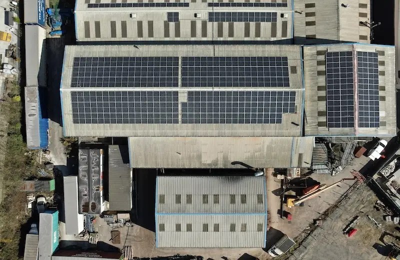
The Power of Precision Drone Mapping

Enhancing Real Estate Marketing
Precision drone mapping has opened a new chapter in property marketing. Imagine presenting a home with images that let buyers feel they’re already there. This technology provides that, making listings more attractive and engaging.
Creating Stunning Visuals
High-quality visuals are key to grabbing attention. Drone mapping offers cinematic shots that showcase a property like never before. From sweeping landscapes to intricate details, it turns a simple listing into a visual masterpiece. This transformation makes your property stand out in a crowded market.
Engaging Property Showcasing
Most buyers skim through listings, but drone imagery changes the game. By offering unique views and angles, it captures interest instantly. Buyers linger longer, captivated by the compelling story each visual tells. This deeper engagement can lead to quicker sales and satisfied clients.
Benefits of Aerial Imagery
Capturing High-Resolution Views
Aerial imagery provides unparalleled clarity and detail. High-resolution shots reveal every aspect of a property, from landscaping to architecture. This level of detail assures potential buyers of the quality and value of a listing. It’s not just a picture; it’s an experience.
Crafting Detailed Topographic Maps
Topographic maps crafted from drone data offer more than just visuals. They provide essential insights for land planning and development. These maps help real estate professionals assess a property’s potential with precision, guiding informed decisions. This tool is invaluable for developers seeking to maximise land use.
Building 3D Models for Listings
3D models bring properties to life in unprecedented ways. By exploring a virtual space, buyers gain a comprehensive understanding of layout and design. These models are perfect for showcasing unique architectural features that static images can’t convey. This interactive experience elevates any listing and sparks buyer interest.
Elevate Your Listings with Drone Services

The Hoverscope Advantage
Choosing the right partner for drone services is crucial. Hoverscope stands out with its commitment to precision and safety. Our services ensure that every flight meets the highest standards, delivering exceptional results every time. Trust in our expertise to enhance your property listings beyond expectations.
Customised Solutions for Your Needs
Every property is unique, and so are our solutions. At Hoverscope, we tailor our services to meet your specific goals. Whether it’s capturing the perfect angles or creating detailed maps, we collaborate closely to deliver exactly what you need. Achieve standout results with our bespoke approach.
Contact Us for a Consultation
Ready to transform your property listings? The longer you wait, the more opportunities you miss. Connect with us for a consultation today and discover how Hoverscope can elevate your real estate marketing. Let’s make your properties shine with cutting-edge drone technology.