You trust your aerial maps to guide crucial decisions. Yet, not all drone imagery meets the precise standards needed for survey-grade mapping. Understanding what drives aerial imagery accuracy—from ground sampling distance to centimetre-level positioning—can change how you manage farms, fields, and construction sites. This post breaks down the key factors behind photogrammetry accuracy and how Hoverscope delivers data you can rely on every time.
For more insights, you might find this link helpful.
Understanding Aerial Imagery Accuracy
When working with aerial imagery, the precision of the data is crucial. Let’s explore what makes survey-grade mapping so reliable.
Key Factors in Survey-Grade Mapping
Accuracy in aerial imagery is all about detail and precision. When you need survey-grade mapping, factors like ground sampling distance (GSD) play a vital role. GSD determines how much ground each pixel in your image represents. A smaller GSD means clearer and more detailed images.
Centimetre-level positioning is another critical component. It ensures that every image aligns with real-world coordinates accurately. This precision is essential for creating reliable maps and models that you can trust.
Understanding these elements helps you see why not all maps are created equal. For more information on the nuances of aerial accuracy, check out this article.
Role of Ground Control Points (GCPs)
Ground control points, or GCPs, are essential for achieving high precision in aerial mapping. They are reference points on the ground with known geographic locations. During mapping, these points ensure that your images align correctly with the real world.
Using GCPs can drastically improve the accuracy of your maps. They act like anchors, holding your images in place and preventing any drift or distortion. Without them, even the best drones can produce maps that are slightly off.
Understanding the importance of GCPs helps you appreciate the level of detail and accuracy required in professional mapping. If you’re curious about more technical details, you might find this guide insightful.
Advanced Technology for Precision
Advanced technology is reshaping how aerial imagery is captured and used. Let’s look at how drones and calibration processes ensure precision.
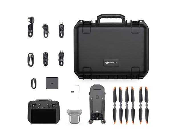
RTK and PPK Drones Explained
RTK (Real-Time Kinematic) and PPK (Post-Processed Kinematic) drones are game-changers in aerial mapping. They enhance positioning accuracy significantly. RTK drones provide real-time data corrections during flights, ensuring immediate precision. On the other hand, PPK drones collect data during flights and apply corrections afterward for enhanced accuracy.
Both methods are effective, but choosing the right one depends on your needs. RTK is great for real-time applications, while PPK offers flexibility for post-flight data processing. This technology ensures that your mapping is not just about flying but about capturing the most precise data possible.
Camera and Radiometric Calibration
Camera calibration is crucial for accurate imagery. It involves adjusting your camera settings to ensure each image is consistent and true to life. Radiometric calibration, on the other hand, ensures that the brightness and colour in your images are accurate, making them reliable for analysis.
Without proper calibration, your images might look good but won’t provide the accurate data needed for professional decision-making. This process is a behind-the-scenes hero, making sure every pixel counts.
Practical Applications and Benefits

Understanding the technology is one thing, but how does it translate into real-world applications? Let’s explore how these technologies benefit specific industries.
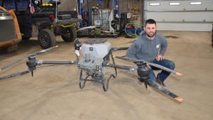
Precision Agriculture in Ontario
Precision agriculture relies heavily on accurate mapping. In Ontario, farmers use aerial imagery to monitor crops and manage land efficiently. Multispectral NDVI mapping helps in assessing plant health by capturing data beyond what the human eye can see.
This technology allows farmers to identify stressed areas, optimise irrigation, and apply fertilisers precisely where needed. It’s not just about growing crops; it’s about growing them smarter, saving resources, and increasing yields.
Construction Progress Monitoring Techniques
In construction, accurate mapping is essential for progress monitoring. Drones provide detailed orthomosaic maps and 3D models that help in planning and monitoring construction sites. Knowing the exact cut and fill volumes and having precise volume calculations drone data ensures projects stay on track and within budget.
Using drones for this purpose not only saves time but also enhances safety by minimising the need for personnel on-site. These insights can make or break a project’s success, showing how vital aerial accuracy is in construction.
Ending on a note of value, understanding these factors and technologies ensures you make informed decisions based on reliable data, enhancing your projects’ efficiency and success.