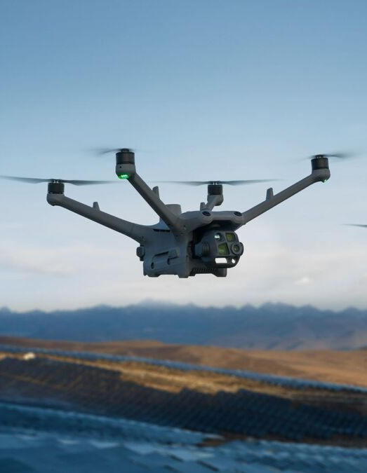
Cut the Guesswork: Aerial Imaging for Confident Field, Site and Asset Decisions
Traditional site surveys and asset inspections often leave you guessing, risking costly errors and delays. With aerial imaging Ontario teams trust, guesswork gives way to clarity. Hoverscope’s drone mapping Ontario services deliver survey-grade data and precise orthomosaic maps that empower you to make confident decisions faster. Keep reading to see how UAV surveying can sharpen your view of fields, sites and assets with unmatched accuracy and speed.
Precision in Field Operations

When it comes to agricultural efficiency, every inch of land counts. Drone technology is transforming the way you approach farming, offering unparalleled insights.
Drone Mapping for Agriculture
Imagine having a bird’s eye view of your entire farm. With drone mapping, this is now a reality. These UAVs capture comprehensive data, which helps you plan your planting and irrigation strategies with precision. By using drones, you can get accurate maps that show the exact topography of your land. This means you can spot uneven areas that might cause water pooling or dry spots. Aerial imagery is especially useful for large farms where walking every inch isn’t feasible. This technology saves both time and resources, ensuring your crops get the care they need exactly where they need it.
Crop Monitoring and Field Scouting
Keeping an eye on crops used to mean walking the fields. Now, drones can do this job faster and more accurately. Drones can fly over fields in minutes, capturing high-resolution images that highlight areas of concern. These images can pinpoint sections where crops might be under stress due to pests or disease. With this information, you can respond quickly, treating only the affected areas. This targeted approach reduces pesticide use and increases crop health. By saving you time and reducing waste, drones become an essential tool in modern agriculture.
Precision Agriculture Mapping
Precision agriculture is all about making informed decisions, and drone technology is leading the way. The data collected through aerial imaging can be used to create detailed orthomosaic maps. These maps provide insights into crop health, soil conditions, and more. You can use this information to apply fertiliser only where it’s needed, reducing costs and improving yields. Precision mapping also helps you track crop growth over time, ensuring you’re on top of any changes. The result: healthier crops and bigger harvests, all while minimising environmental impact.
Revolutionising Construction Sites

Drone technology doesn’t just benefit agriculture. Construction sites, too, are seeing massive improvements in safety and efficiency thanks to aerial imaging.
Construction Progress Monitoring
Keeping a construction project on track can be challenging. Drone services offer a way to monitor progress with ease. By flying over sites, drones capture images that show the current state of development. These images make it easy to compare progress against plans, ensuring everything is on schedule. Any deviations can be spotted early, avoiding costly delays. With regular aerial updates, you can keep stakeholders informed and maintain transparency throughout the project.
Survey‑Grade Data for Site Planning
Accurate site plans are crucial for any construction project. Drones provide survey-grade data that’s essential for precise planning. This data includes digital surface models (DSMs) and digital terrain models (DTMs), which give detailed insights into the landscape. Such information is invaluable for identifying potential issues like flood zones or unstable ground. By incorporating drone data into your planning, you reduce the risk of unexpected surprises once construction begins.
Stockpile Volumetrics and Asset Tracking
Managing materials efficiently is a key aspect of construction. Drones make it simpler to track stockpile volumes and asset locations. By flying over the site, drones can accurately measure the size of stockpiles, ensuring you know exactly what materials you have on hand. This helps avoid over-ordering or running out of critical supplies. Plus, with accurate records, asset tracking becomes straightforward, reducing the risk of loss or theft.
Asset Inspections with Confidence
Inspections are vital for maintaining infrastructure safety, and drones make these tasks quicker and more thorough.
Roof and Bridge Inspections
Inspecting roofs and bridges traditionally requires scaffolding or lifts. Drones eliminate this need, allowing for safer and faster inspections. Equipped with high-resolution cameras, drones can capture detailed images of hard-to-reach areas. These images help identify damages like cracks or leaks early, preventing more serious issues. By using drones, inspections become less intrusive and more efficient, saving time and reducing risks to workers.
Transport Canada Compliant Operations
Safety and compliance are non-negotiable in aerial services. Hoverscope adheres strictly to Transport Canada regulations, ensuring all operations are safe and legal. This compliance gives you peace of mind, knowing that your inspections and data collection are handled responsibly. With professional service and advanced technology, you receive reliable data without compromising safety.
High-Resolution Georeferenced Imagery
Capture every detail with high-resolution georeferenced imagery. This level of detail is crucial for precise assessments and planning. Whether you’re inspecting a bridge or monitoring a vast area, sharp images reveal the smallest features. This precision allows for better decision-making, reducing errors and improving outcomes. By integrating drone technology into your operations, you elevate your ability to manage assets effectively.
By embracing aerial imaging, you open doors to clearer, more informed decision-making. Whether you’re managing fields, overseeing construction sites, or conducting asset inspections, drones provide the data you need to succeed. The future is clear, precise, and right above you.