Innovative Drone Inspection Methods Driving Faster, Safer Infrastructure Maintenance
Traditional infrastructure inspections slow projects down and expose teams to unnecessary risk. You know that downtime costs money and delayed decisions put assets at risk. Hoverscope Aerial Imaging uses drone inspection services Ontario to deliver survey-grade accuracy with Transport Canada‑compliant UAV inspection methods that speed up maintenance and give you detailed, actionable data. Read on to see how infrastructure maintenance drones can improve your asset management and reduce risks on your next project.
Modern Drone Inspection Techniques

Imagine inspecting infrastructure with accuracy and speed like never before. This is where modern drone techniques come into play, offering unprecedented precision.
UAVs Enhancing Infrastructure Safety
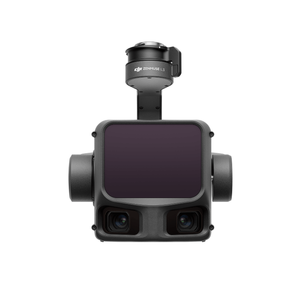
Drones are transforming how you maintain infrastructure. UAVs, or unmanned aerial vehicles, provide a safer way to inspect structures. With their advanced cameras, these drones can capture detailed images of hard-to-reach areas. This means fewer risks for your crew and more accurate data for you. Most people believe traditional inspections are thorough, but drones offer a clearer picture. They fly close to structures, capturing minute details while keeping your team on the ground. This technology is not just safer; it also allows for quicker inspections, reducing downtime and costs.
RTK Drone Mapping Accuracy
Accuracy in mapping is critical for successful projects. RTK, or Real-Time Kinematic, technology ensures drones deliver precise data. With RTK-equipped drones, you achieve centimetre-level accuracy in mapping, essential for any survey. Imagine having maps that are not only detailed but also incredibly accurate. This technology drastically improves planning and decision-making. With RTK, you can trust that the data you receive is reliable, allowing for better asset management. This level of precision was once thought impossible, but with RTK, it’s now at your fingertips.
LiDAR Mapping in Ontario
LiDAR mapping offers an advanced way to see the terrain like never before. Using lasers, drones can create high-resolution maps of the landscape. In Ontario, where diverse terrain is common, this technology is invaluable. LiDAR is not only about mapping; it’s about uncovering details hidden to the naked eye. Whether you’re managing forests or urban structures, LiDAR provides insights that traditional methods miss. These maps are crucial for planning and managing resources efficiently. The longer you wait to adopt this technology, the more you miss out on these invaluable insights.
Benefits of Drone Inspections
Drone inspections are more than just a trend; they’re a game-changer in maintenance and safety. Here’s how they can transform your infrastructure management.
Speed and Efficiency in Maintenance
Time is money in infrastructure projects. Drones cut inspection times significantly. With aerial surveys, you get the data you need in a fraction of the time. This speed translates to faster decision-making and reduced project timelines. Imagine completing a thorough inspection in hours rather than days. Drones make this possible, allowing you to allocate resources more effectively. This efficiency means you can focus on what matters most: maintaining and improving your assets.
Risk Reduction with Aerial Surveys
Safety is always a top priority. Drones reduce the need for risky manual inspections. By using aerial surveys, you keep your team safe while still collecting comprehensive data. Think about inspecting a bridge without the need for scaffolding or climbing gear. Drones do the hard work, capturing every angle and detail. This approach not only reduces risk but also ensures more consistent and reliable data collection. It’s a win-win for safety and accuracy.
Improved Decision-Making with 3D Modelling
3D modelling transforms how you view your assets. By converting drone data into 3D models, you gain a detailed perspective of your infrastructure. This model allows for better analysis and planning. You can visualize potential issues before they become problems, making proactive decisions that save time and money. With accurate models, your team can collaborate more effectively, ensuring everyone is on the same page. The sooner you integrate 3D modelling, the sooner you reap the benefits of smarter decision-making.
Hoverscope’s Comprehensive Services

Hoverscope offers a suite of services designed to meet diverse inspection needs. From thermal imaging to condition assessment, we’ve got you covered.
Radiometric Thermal Imaging Applications
Thermal imaging detects temperature variations invisible to the naked eye. This service is crucial for identifying issues like heat loss or electrical faults. By using radiometric thermal imaging, you get precise temperature data that can pinpoint problems early. This proactive approach helps prevent costly failures and extends the life of your assets. In industries where temperature plays a critical role, such as electrical utilities, this technology is indispensable.
Orthomosaic Surveys and Condition Assessment
Orthomosaic surveys provide accurate and detailed maps of your infrastructure. These surveys are essential for condition assessment, offering a clear view of the current state of your assets. With orthomosaic imagery, you can monitor changes over time, ensuring timely maintenance. This data is crucial for planning repairs and ensuring that your infrastructure remains in top condition. By opting for orthomosaic surveys, you invest in the longevity and reliability of your assets.
Transport Canada-Compliant Aerial Operations
Compliance with regulations is a given at Hoverscope. Our operations adhere strictly to Transport Canada guidelines, ensuring safe and legal drone flights. This compliance guarantees that we deliver reliable and authorised services every time. You can trust that our operations are not only effective but also lawful, providing peace of mind. Choosing a compliant service like Hoverscope means your projects are handled with the utmost professionalism and care.
In summary, drone technology is revolutionizing infrastructure inspections, offering speed, safety, and superior data accuracy. By partnering with Hoverscope, you ensure your projects benefit from the latest in aerial imaging innovation. The time to embrace this technology is now, as the advantages are clear: reduced risk, faster insights, and improved asset management.