Revolutionising Aerial Surveys and Inspections: Emerging Drone Technology Trends
Forget the old ways of aerial surveys and inspections. Traditional methods often miss critical details or take too long, costing you time and money. With the latest drone technology, Hoverscope Aerial Imaging offers precise data and advanced drone solutions that sharpen your view from above. Read on to see how these trends are reshaping industries and how your business can benefit. Check out more on this link.
Cutting-Edge Drone Innovations
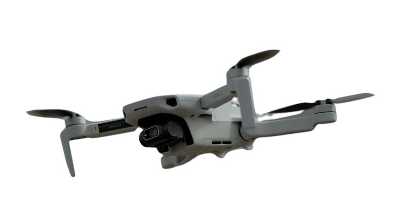
The world of aerial surveys and inspections is being transformed by new advancements in drone technology. These changes offer businesses precision and reliability like never before.
Precision in Aerial Surveys
Imagine getting the exact measurements and data you need without the hassle of traditional methods. Drones today are equipped with advanced sensors and cameras that provide high-resolution imagery. This means you can capture detailed topographic maps and models that are crucial for planning and development. No more guessing or relying on outdated maps. Whether you’re in construction, real estate, or agriculture, precise data allows you to make informed decisions faster.
Beyond static images, drones offer flexibility in data collection. They can navigate complex terrains, reaching areas that were once inaccessible. This mobility ensures that every angle is covered, providing a complete picture of your project site. With drones, you’re not just getting a snapshot; you’re gaining a comprehensive understanding of the landscape.
Safety and Efficiency in Inspections
Inspections can be dangerous and time-consuming, especially in hard-to-reach areas. Enter drones, which can safely inspect structures and sites from a distance. They reduce the need for manual checks, keeping your team out of harm’s way while delivering accurate results. This shift not only enhances safety but also speeds up the inspection process, saving you both time and resources.
Drones also bring efficiency by accessing areas that are difficult or impossible for humans to reach. Think about rooftops, towers, and pipelines. With drones, you can monitor these structures continuously and identify issues before they become major problems. It’s a proactive approach that ensures your operations run smoothly and safely.
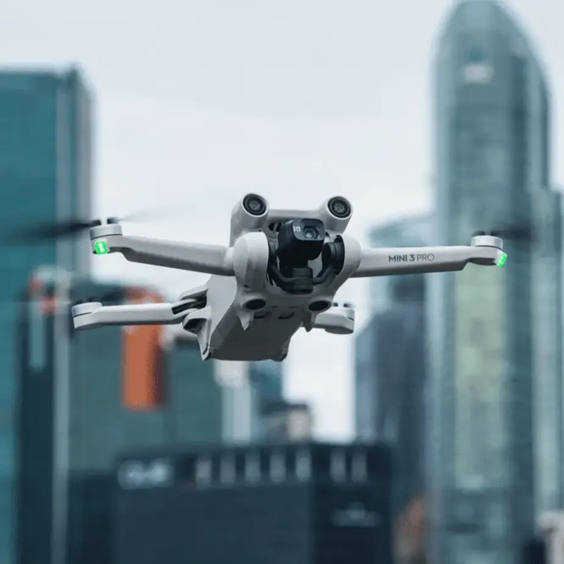
Advanced Drone Capabilities

What sets modern drones apart are their capabilities. They don’t just capture images; they offer a suite of tools that enhance data accuracy and availability.
Enhanced Data Collection Techniques
Drones today can gather a wide range of data types. They use thermal imaging to detect heat loss in buildings or assess crop health. Multi-spectral sensors help in analysing vegetation and soil conditions. These techniques offer insights that are difficult to obtain from the ground. By integrating various data types, drones provide a holistic view of your environment.
Data collected by drones is processed quickly, allowing for rapid analysis and reporting. You can receive detailed reports within hours, not days. This speed is crucial for industries where time-sensitive decisions are necessary. Real-time data empowers you to act quickly and confidently.
Real-Time Monitoring and Analysis
The ability to monitor sites in real-time is a game-changer. Imagine seeing live footage of your construction site or farm. This immediate access allows for on-the-fly decision-making. You can spot potential issues, coordinate teams, and adjust plans instantly. It’s like having eyes in the sky that keep you informed at every step.
Drones also support ongoing analysis. By regularly capturing data, they help track changes over time. You can monitor progress, measure growth, or assess damage with precision. This continuous flow of information keeps you ahead of the game, ensuring you are always prepared for what’s next.
Hoverscope: Your Trusted Partner
Choosing the right partner for drone services is essential. Hoverscope offers expertise and reliability that you can count on.
Benefits of Partnering with Hoverscope
When you work with Hoverscope, you gain more than just a service provider. You gain a partner committed to your success. Our precision-focused approach ensures that every flight delivers high-quality data tailored to your needs. We understand that each project is unique, which is why we customise our services to fit your specific goals.
Safety is at the core of what we do. Our team adheres to strict safety protocols, ensuring that every operation is conducted without risk. This commitment to safety means you can trust us to handle your projects with care and professionalism. And with our use of cutting-edge technology, you get the most advanced solutions available.
Ontario Drone Services for Every Need
Whether you need aerial photography, mapping, or inspections, Hoverscope has you covered. Our comprehensive range of services is designed to meet the diverse needs of businesses across Ontario. From real estate to agriculture, we provide tailored solutions that drive results.
Our local expertise means we understand the unique challenges of the Ontario landscape. We leverage this knowledge to deliver services that not only meet but exceed your expectations. Partner with us and discover how our innovative drone solutions can transform your business operations.
🚁
By embracing the latest in drone technology, businesses can unlock new levels of efficiency, safety, and precision. As industries continue to evolve, staying ahead with cutting-edge solutions is crucial. Let Hoverscope Aerial Imaging be your guide in navigating these exciting advancements.