Safety and Compliance Essentials for Professional Drone Operations in Ontario
Most drone operations in Ontario slip on key safety and compliance steps, risking costly delays and regulatory penalties. You need more than just a licence—you need a clear plan covering Transport Canada RPAS rules, NAV CANADA authorisations, and operational risk assessments. This guide breaks down what professionals in agriculture, construction, and surveying must know to keep drone flights safe, legal, and productive. Learn more about drone safety best practices here.
Drone Safety and Regulations in Ontario

Navigating the world of drone operations demands a keen understanding of Ontario’s regulations. Knowing the rules helps you avoid setbacks and keep your projects on track.
Understanding Ontario Drone Regulations
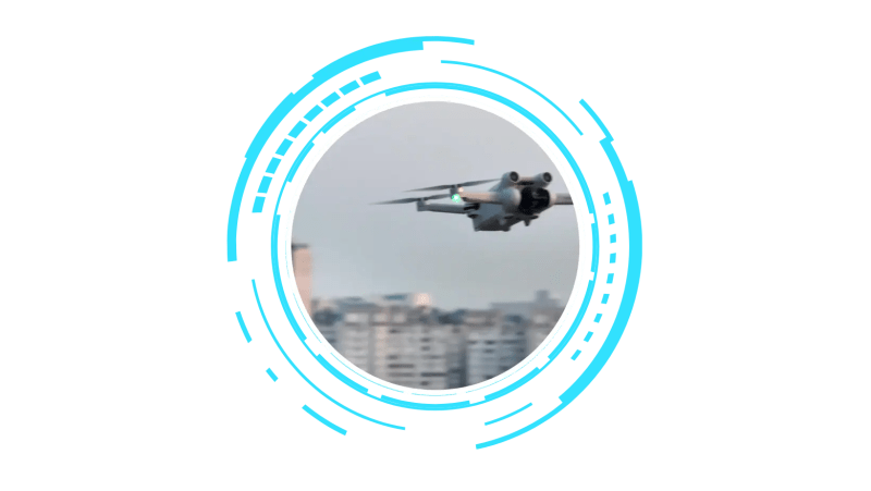
Staying informed is crucial when flying drones in Ontario. Ontario drone regulations require all operators to follow specific guidelines to ensure public safety and privacy. For instance, you must fly at or below 400 feet to prevent collisions with manned aircraft. These regulations also enforce maintaining a visual line-of-sight (VLOS) with your drone at all times. By adhering to these rules, you not only comply with legal obligations but also protect your investment from costly penalties.
Moreover, flying drones requires understanding the impact of weather conditions on your operations. Strong winds and heavy rain can significantly affect flight stability and camera quality. Therefore, always check weather forecasts before launching your drone. This proactive approach minimizes risks and ensures you capture high-quality aerial data without interruptions.
Transport Canada RPAS Requirements
Understanding the requirements set by Transport Canada is vital. These rules govern the safe operation of Remotely Piloted Aircraft Systems (RPAS). Every drone over 250 grams must be registered, and pilots must hold a valid certificate. This registration process is straightforward, involving an online application where you provide essential details about your drone.
Once registered, the next step is obtaining the Advanced Operations Certificate. This certificate allows you to operate in controlled airspace and fly closer to bystanders, expanding your project capabilities. Remember, operating without the necessary certification could lead to fines and project delays. It’s essential to complete the training and testing process diligently to ensure compliance.
From understanding regulations to acquiring certifications, your proactive efforts pave the way for successful drone operations.
Ensuring Compliance in Professional Drone Operations
Ensuring compliance is not just about following rules—it’s about protecting your business and advancing your capabilities.
RPAS Registration and Insurance
Before you can take off, your drone must be registered and insured. RPAS registration in Canada is a legal requirement for drones weighing more than 250 grams. This process is simple: provide your drone’s make, model, and serial number online. Once registered, a unique registration number is issued, which must be clearly displayed on your drone.
Insurance is equally essential. Drone insurance liability protects against potential accidents and damages, shielding your business from unexpected expenses. Most policies cover property damage and bodily injury, offering peace of mind in case of unforeseen events. By securing the right insurance, you demonstrate a commitment to safety and responsibility, which can enhance your reputation and attract more clients.
Navigating Controlled Airspace Authorisations
Operating in controlled airspace requires special authorisation. NAV CANADA authorisation is necessary for flights near airports or in designated airspace. Applying for this involves providing details about your drone and intended flight operations. It’s essential to plan your flight paths carefully and submit requests well in advance.
This authorisation process can seem daunting, but it’s a critical step in ensuring compliance and safety. By securing the necessary permissions, you can expand your operational areas, offering more value to your clients. The longer you wait to obtain these permissions, the more opportunities you might miss. Take action today and pave the way for more expansive drone operations.
Advanced Drone Services for Industry Professionals

Our aerial services provide cutting-edge solutions for various industries, enhancing efficiency and precision in your projects.
Precision Mapping and 3D Modelling
Precision is key in mapping and modelling. Our drones capture high-resolution images, transforming them into detailed orthomosaic maps and 3D models. This data is invaluable for construction and land planning, as it provides a clear representation of the terrain and structures. By using drones, you save time and resources compared to traditional surveying methods.
These models allow for accurate analysis and decision-making, ensuring your projects are executed flawlessly. Whether you’re monitoring construction site progress or conducting a detailed land survey, our services deliver reliable and precise data, enhancing your project outcomes.
Agricultural Surveying and Construction Inspections
Our drones revolutionise surveying and inspections in agriculture and construction. Agricultural drone surveying offers a comprehensive view of your fields, helping identify crop health, pest infestations, and irrigation issues. This timely information enables you to make informed decisions, improving yields and reducing costs.
In construction, drones facilitate regular site inspections, ensuring projects stay on schedule and within budget. They provide real-time data on site conditions, progress, and safety compliance. By integrating our drone services, you gain a competitive edge, ensuring your operations are efficient and compliant with industry standards.
For more insights on ensuring drone safety at job sites, visit this guide on OSHA guidelines.
Embrace the future of aerial data collection and elevate your projects with precision and innovation.