Map Like a Pro: What Every Aerial Mapping Mission Needs Before Take‑off
Most drone survey missions stumble before they even take off. Skipping key steps in your aerial mapping pre‑flight checklist risks inaccurate data, regulatory trouble, and wasted time. Get your preparations right, and you’ll secure flawless orthomosaic mapping, precise DSMs and DTMs, plus CAD/GIS‑ready deliverables that truly support your project goals. Let’s break down what every drone survey planning Ontario mission must include before lift-off. For more information, check out this pre-flight checklist.
Pre-flight Planning Essentials
Getting ready for a drone survey means more than just charging batteries. Proper planning sets the stage for a successful mission.
Aerial Mapping Pre-flight Checklist
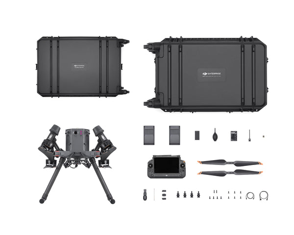
Before you even think about take-off, ensure your drone is ready. Start with a thorough visual inspection. Look for any damage or loose parts. Check your camera settings. Ensure they match your project needs. Next, verify your flight plan. Load it into your drone and check that it aligns with your goals. Don’t forget your batteries. Make sure they’re fully charged and packed for the day. Also, have backup power ready. Pre-flight checks aren’t just about the drone. Review the weather conditions too. Ensure they’re suitable for flying. This proactive approach helps avoid surprises and keeps your mission on track. For a detailed guide, refer to this comprehensive checklist.
Understanding Transport Canada Drone Regulations
Flying in Canada means knowing the rules. Transport Canada sets the standards. You need to ensure your drone is registered. Have your pilot certificate ready. This proves you’re qualified to fly. Know the airspace you’re entering. Some areas have restrictions. You might need special permission to fly there. Ignoring these rules isn’t an option. It can lead to hefty fines or, worse, accidents. By understanding the regulations, you keep your operations safe and legal. This preparation is crucial for a smooth mission.
Navigating NAV CANADA Airspace
Airspace in Canada can be complex. NAV CANADA manages it all. Before any flight, check the airspace classification. Some zones need permission to enter. Use tools like NAV CANADA’s flight planning resources. They help you understand restrictions and plan your flight path. Remember, airspace can change. Stay updated before take-off. This ensures you stay compliant and avoid potential hazards. Navigating airspace correctly is key to mission success. By planning ahead, you ensure a safe and efficient operation.
Key Technical Components

With planning in place, focus shifts to technical aspects. These elements ensure data accuracy and mapping precision.
Importance of Ground Control Points (GCPs)
Ground Control Points, or GCPs, are your mapping mission’s backbone. They provide real-world coordinates for your drone imagery, ensuring data accuracy. Precise placement of GCPs is crucial. They should be evenly distributed across your survey area. This distribution helps avoid distortions in your maps. When setting GCPs, use a high-accuracy GPS. This ensures your map aligns with the real world. Without them, your data might not fit with existing maps, leading to errors. GCPs are the key to high-quality, reliable mapping outputs.
RTK/PPK Drone Mapping Techniques
RTK and PPK are advanced mapping techniques. They offer different paths to achieve high accuracy. RTK provides real-time corrections during flights. This means immediate accuracy but requires a connection to a base station. PPK, on the other hand, processes the data after flights. It offers flexibility as no live connection is needed. Both methods help produce accurate maps but choose based on your project needs. Understanding these techniques enhances your mapping precision. They are essential tools in your aerial survey toolkit.
Overlap and Sidelap Settings Explained
When flying your drone, overlap and sidelap settings matter. They determine how much of each image overlaps with the next. Ideally, aim for 70% overlap and 60% sidelap. This ensures your mapping software stitches images seamlessly. Overlapping images capture more detail, reducing gaps. It’s essential for creating accurate models and maps. Adjust these settings based on your terrain. Flat areas need less overlap than complex terrains. Proper settings mean better data and less rework later. They are vital for achieving precise mapping results.
Safety and Compliance Measures

Prioritising safety ensures a smooth mission. Compliance with regulations protects you and your equipment.
Risk Assessment and Method Statement (RAMS)
Before flying, a Risk Assessment and Method Statement is essential. RAMS identifies potential hazards and outlines control measures. Start by analysing your survey area. Consider risks like power lines or weather changes. Document how you’ll mitigate these risks. This preparation ensures you’re ready for unexpected events. RAMS is not just paperwork; it’s a crucial part of safe drone operations. It protects your team and equipment. With RAMS in place, you can focus on collecting data confidently.
Standard Operating Procedures (SOPs)
Having Standard Operating Procedures is key to consistency. SOPs outline the step-by-step process for your drone missions. They cover everything from setup to data collection. By following SOPs, you ensure every team member knows their role. This consistency reduces errors and improves efficiency. SOPs are living documents. Regularly update them to reflect new technologies or techniques. Clear procedures mean smoother operations and better outcomes. SOPs are the backbone of successful drone missions.
Emergency Response Plan (ERP) Overview
Emergencies can happen at any time. An Emergency Response Plan prepares you for these moments. ERP outlines actions to take if something goes wrong. It covers scenarios like equipment failure or sudden weather changes. Having an ERP ensures quick and effective responses. This limits damage and gets your mission back on track. Regularly review and practice your ERP. Understanding it inside out is crucial for safety. With a solid ERP, you’re ready for anything, keeping your missions safe and efficient.
Through thorough planning and understanding of technical and safety measures, your aerial mapping missions are set for success. By incorporating these steps, you ensure precise, compliant, and safe operations every time.